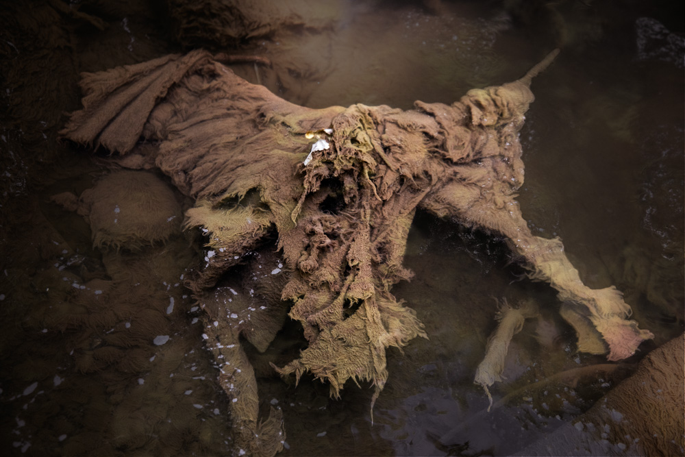
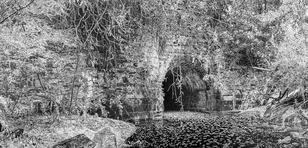
archival pigment print
19.25 x 40 inches
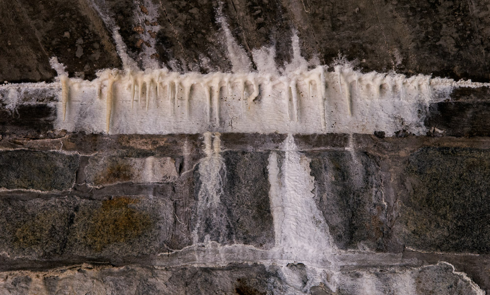
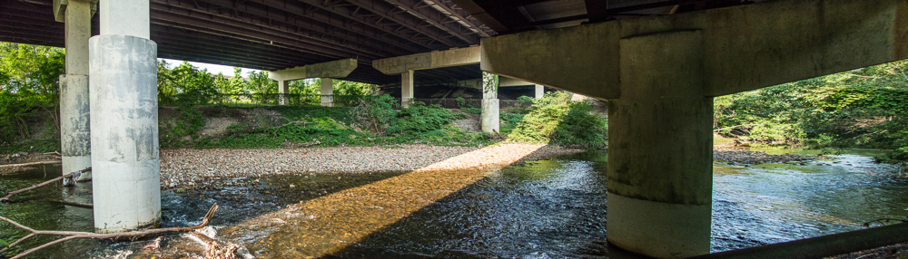
archival pigment print
12 x 40 inches
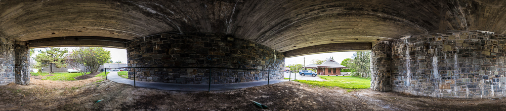
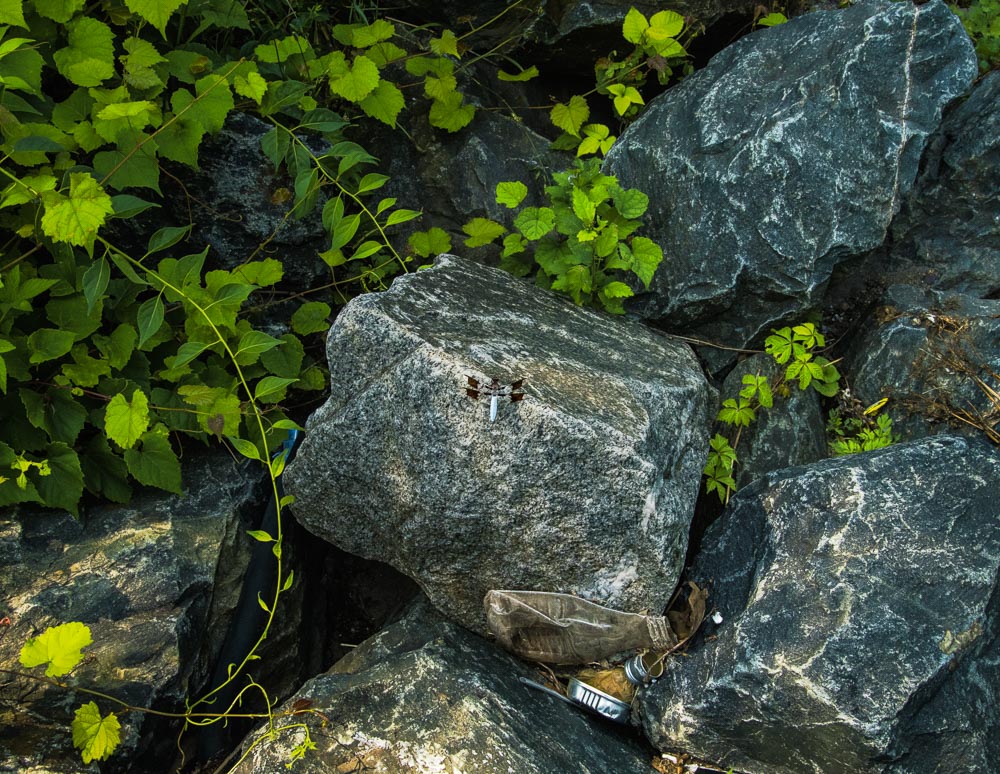
archival pigment print
9 x 41 inches
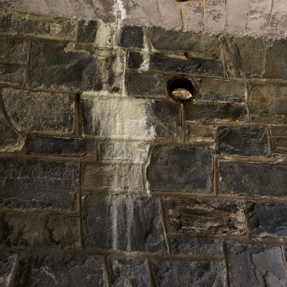
archival pigment print
12 x 31.5 inches
archival pigment print
12 x 23 inches
Baisman Run (2015)
archival pigment print
18 x 12 inches
archival pigment print
12 x 18 inches
archival pigment print
12 x 18 inches
archival pigment print
12 x 14 inches
archival pigment print
12 x 18 inches
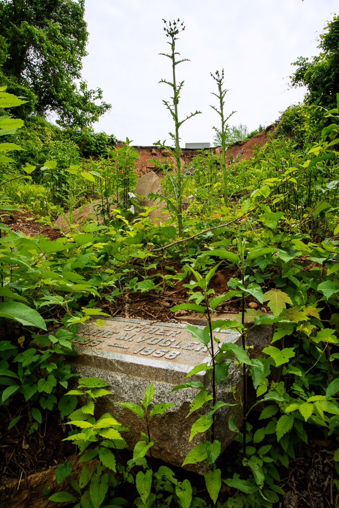
archival pigment print
18 x 12 inches
(Mother Marie Vogler) (2015)
archival pigment print
18 x 12 inches
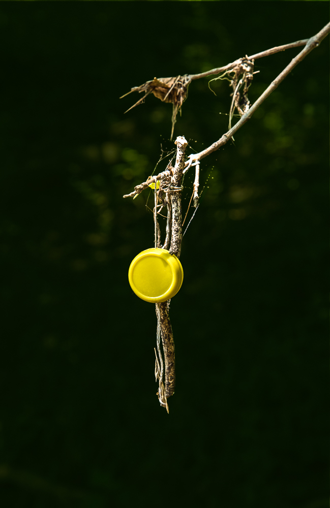
archival pigment print
12 x 18 inches
archival pigment print
12 x 18 inches
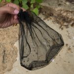
one of the source photographs for the 3D file
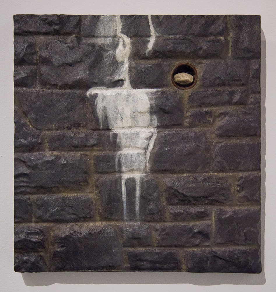
acrylic and oil on high-density urethane foam
16 x 15.5 x 1.75 inches